Brahma Taal – Lake of Heavens
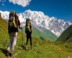
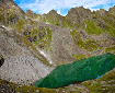
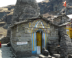
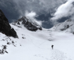
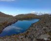
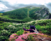
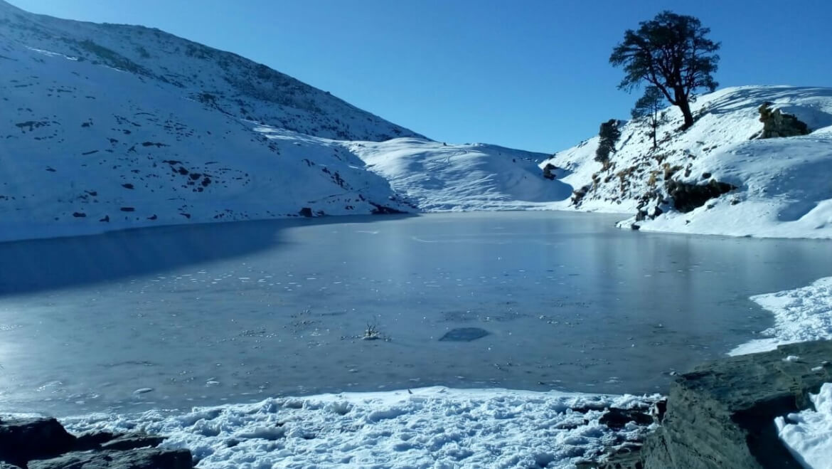
Brahmatal Lake is a frozen alpine glacial lake at an altitude above 12000 feet. Spanning over 28 km, the Brahmatal trek begins from the base village of Lohajung located in the Chamoli district in Garhwal Himalayas. The 6 km trek from Lohajung to the Gujreni campsite runs through lovely forests that treats you to a wide variety of birds and beautiful old oak trees. Enroute Talindi Top, brings you spectacular views of Mt. Trishul and Mt. Nanda Ghunti amongst others. In addition, this trek also treats you to a beautiful vista of the Roopkund trek trail(along the Brahmatal ridge) including views of Ali Bugyal, Bedni Bugyal, and Junargali.. The lake is in a crater, the waters crystal clear, a shrine sits beside the lake, a lone tree standing on the far bank. As said in Hindu mythology, the lake gets its name from Lord Brahma, who is said to have meditated here. Hence the name Brahma-Tal, or Brahma’s Lake. The beauty of Brahmatal trek lies in the abundance of mountain glacier-fed lakes you find in this route.
| Duration: | 76Days, Chopta to Rishikesh |
| Altitude: | 12250 ft |
| Grade: | Moderate |
| Best Time: | September to March |
| Terrain: | Forest, alpine meadows, rocky, snow field |
| Start Point: | Karchi |
| End Point: | Auli |
Itinerary
Day 1.
Drive from Rishikesh to Lohajung . Reach Lohajung; 10-11 hours drive from Rishikesh.
Day 2.
Trek from Lohajung to Gujrani. Distance: 4.6 km | Duration: 5 hours |Altitude gain: 7,600 ft to 9,200 ft.
Day 3.
Trek from Gujrani to Tilandi Distance: 2.9 km | Duration: 4-5 hours |Altitude gain: 9,200 ft to 10,495 ft.
Day 4.
Descent from Tilandi to Brahmatal. Distance: 5.5 km | Duration: 5-6 hours |Altitude loss: 10,495 ft to 10,440 ft.
Day 5.
Descent from Brahmatal to Lohajung. Distance: 8.45 km | Duration: 7-8 hours |Altitude loss: 10,440 ft to 7,600 ft.
Day 6.
Drive from Lohajung to Rishikesh/Kathgodam.